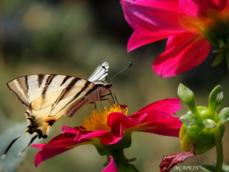
mcapkin

-
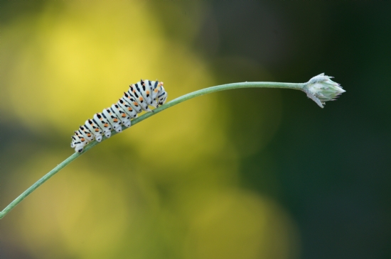
Kırlangıç Kuyruk
 Nikon Coolpix P510

- 603
- 21 Temmuz 2020
- Kelebek
Değerli ilgi ve yorumlarınıza.
| ImageDescription Image title | |
| Marka Manufacturer of image input equipment | NIKON |
| Model Model of image input equipment | COOLPIX P510 |
| XResolution Image resolution in width direction | 300 |
| YResolution Image resolution in height direction | 300 |
| ResolutionUnit Unit of X and Y resolution | 2 |
| Software Software used | COOLPIX P510 V1.0 |
| DateTime File change date and time | 2019:10:19 15:22:24 |
| YCbCrPositioning Y and C positioning | 2 |
| ExifTag Exif IFD Pointer | 232 |
| GPSTag GPSInfo IFD Pointer | 3418 |
| ExposureTime Exposure time | 0,002 |
| FNumber F number | 5,9 |
| ExposureProgram Exposure program | 3 |
| ISOSpeedRatings ISO speed ratings | 160 |
| Tag#34864 | 1 |
| ExifVersion Exif Version | |
| DateTimeOriginal Date and time original image was generated | 2019:10:19 15:22:24 |
| DateTimeDigitized Date and time image was made digital data | 2019:10:19 15:22:24 |
| ComponentsConfiguration Meaning of each component | |
| CompressedBitsPerPixel Image compression mode | 2 |
| ExposureBiasValue Exposure bias | -0,3 |
| MaxApertureValue Maximum lens aperture | 3,2 |
| MeteringMode Metering mode | 5 |
| LightSource Light source | 0 |
| Flash Flash | 16 |
| FocalLength Lens focal length | 180 |
| MakerNote Manufacturer notes | |
| ISOSpeedRatings ISO speed ratings | 0 |
| UserComment User comments | |
| FlashpixVersion Supported Flashpix version | |
| ColorSpace Color space information | 1 |
| PixelXDimension Valid image width | 800 |
| PixelYDimension Valid image height | 600 |
| InteroperabilityTag Interoperability IFD Pointer | 3690 |
| FileSource File source | |
| SceneType Scene type | |
| CustomRendered Custom image processing | 0 |
| ExposureMode Exposure mode | 0 |
| WhiteBalance White balance | 0 |
| DigitalZoomRatio Digital zoom ratio | 0 |
| FocalLengthIn35mmFilm Focal length in 35 mm film | 1000 |
| SceneCaptureType Scene capture type | 0 |
| GainControl Gain control | 1 |
| Contrast Contrast | 0 |
| Saturation Saturation | 0 |
| Sharpness Sharpness | 0 |
| SubjectDistanceRange Subject distance range | 0 |
| ImageUniqueID Unique image ID | c254cc914969fed0bbc6318e233a4e82 |
| GPSVersionID GPS tag version | 2300 |
| GPSLatitudeRef North or South Latitude | |
| GPSLatitude Latitude | -1.#IND:-1.#IND:-1.#IND |
| GPSLongitudeRef East or West Longitude | |
| GPSLongitude Longitude | -1.#IND:-1.#IND:-1.#IND |
| GPSAltitudeRef Altitude reference | |
| GPSAltitude Altitude | -1,#IND |
| GPSTimeStamp GPS time (atomic clock) | -1.#IND:-1.#IND:-1.#IND |
| GPSSatellites GPS satellites used for measurement | |
| GPSImgDirectionRef Reference for direction of image | |
| GPSImgDirection Direction of image | -1,#IND |
| GPSMapDatum Geodetic survey data used | |
| GPSDateStamp GPS date | |
| Compression Compression scheme | 6 |
| XResolution Image resolution in width direction | 72 |
| YResolution Image resolution in height direction | 72 |
| ResolutionUnit Unit of X and Y resolution | 2 |
| JPEGInterchangeFormat Offset to JPEG SOI | 3838 |
| JPEGInterchangeFormatLength Bytes of JPEG data | 6078 |


Çok güzel fotoğraf çekimi olmuş.
Emeğinize sağlık tebrikler.Selamlar saygılar.


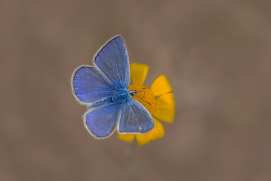
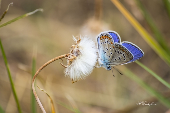
@zafercankiri | Mavi

@zafercankiri | Peri
@muay | Kelebek Makro(kaçkarlar)
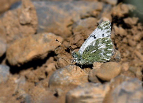
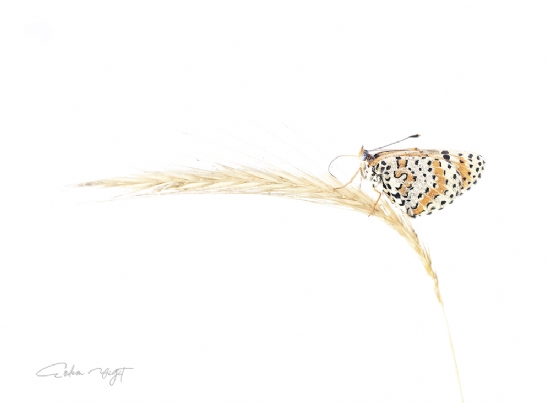
@tezcanh | Gümüş Lekeli Esmergöz
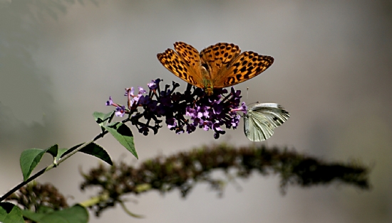
@muryefte59 | Tozlaşmalar Zamanı...
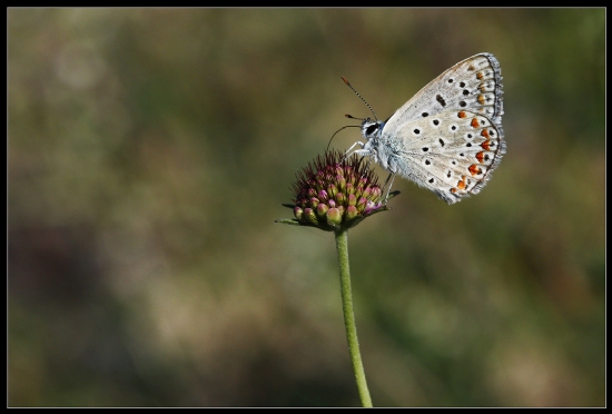
@dmrmedia | Kelebek

@tezcanh | Menekşe Mavisi

@muryefte59 | Tozlaşmalar Zamanı...
@muryefte59 | Tozlaşmalar Zamanı...
@muryefte59 | Heykel...

@muryefte59 | Tozlaşmalar Zamanı...

@ahmetozcan412 | Kelebek
@zorbeyinoglu | Özgür
@tezcanh | Doruklardan...
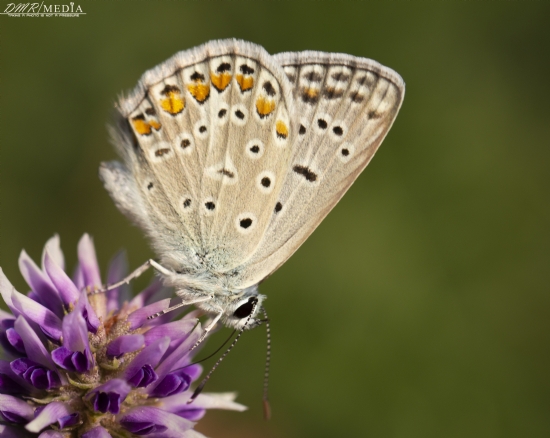
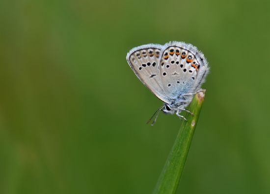
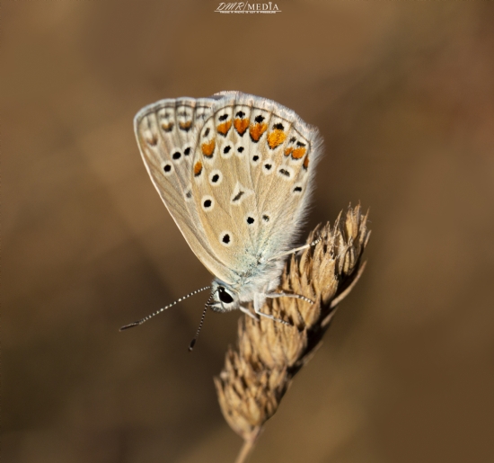
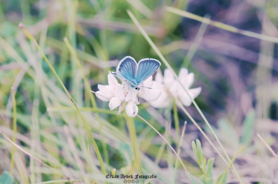
@dmrmedia | Çokgözlü Mavi
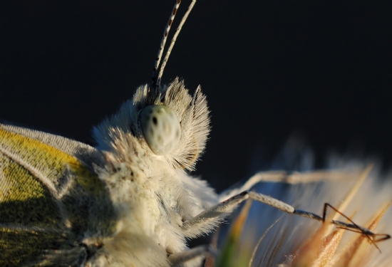
@h_f_ozkan | Kelebek Portresi
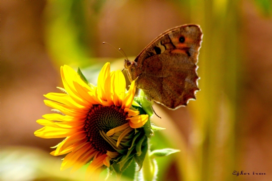
@ejderim75 | Kelebek Ve Ayçiçeği

@sergulle | Anormal Çokgözlü

@muryefte59 | Tozlaşmalar Zamanı...
@yigiterdem | High Key...
@bor51 | ... ::: Mavilim :::...
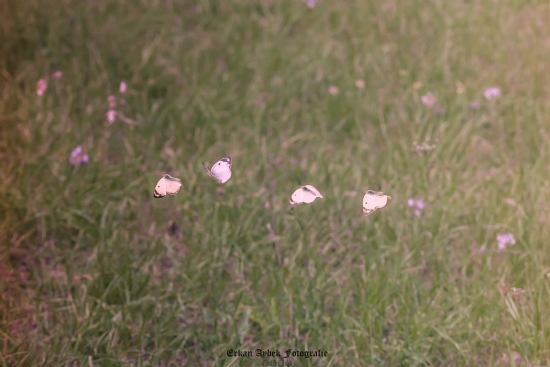
@bor51 | Fantastik Dörtlü (2020)

@muryefte59 | Heykel...
@mehmet.87 | Tırtıl