semayucebas
-
Vuslat
 Olympus OM-10

- 1051
- 18 Aralık 2016
- Sahne
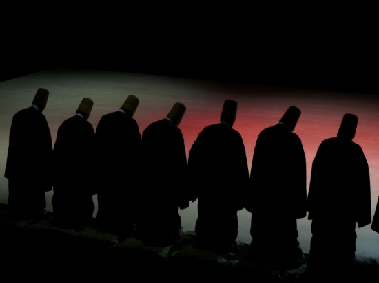
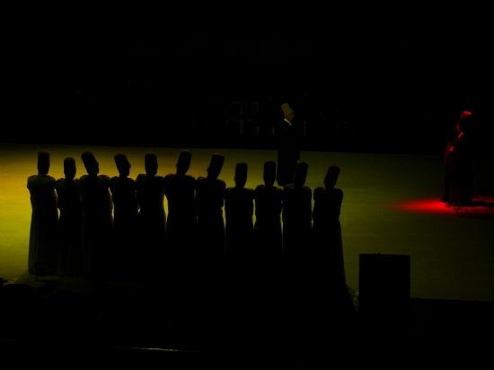
Vuslat kelimesinin anlamı,doğa ve evren yasaları ile akıl,mantık,sağduyu,vicdan yoluyla insanları iyiliğe yönelten olgudur.Adalet nedir? Her şeyi yerine koymak.Zulüm nedir?Bir şeyi yerine koymamak,başka yere koymak.Mevlana.
| ImageDescription Image title | SAMSUNG CSC |
| Marka Manufacturer of image input equipment | SAMSUNG |
| Model Model of image input equipment | NX300 |
| Orientation Orientation of image | 1 |
| XResolution Image resolution in width direction | 350 |
| YResolution Image resolution in height direction | 350 |
| ResolutionUnit Unit of X and Y resolution | 2 |
| Software Software used | |
| DateTime File change date and time | 2016:12:18 19:31:54 |
| Artist Person who created the image | Picasa |
| YCbCrPositioning Y and C positioning | 1 |
| ExifTag Exif IFD Pointer | 250 |
| GPSTag GPSInfo IFD Pointer | 734 |
| ExposureTime Exposure time | 0,1 |
| FNumber F number | 5,6 |
| ExposureProgram Exposure program | 2 |
| ISOSpeedRatings ISO speed ratings | 3200 |
| ExifVersion Exif Version | |
| DateTimeOriginal Date and time original image was generated | 2013:12:14 22:19:01 |
| DateTimeDigitized Date and time image was made digital data | 2013:12:14 22:19:01 |
| ComponentsConfiguration Meaning of each component | |
| ExposureBiasValue Exposure bias | 0 |
| MaxApertureValue Maximum lens aperture | 4,98 |
| MeteringMode Metering mode | 5 |
| LightSource Light source | 0 |
| Flash Flash | 0 |
| FocalLength Lens focal length | 55 |
| FlashpixVersion Supported Flashpix version | |
| ColorSpace Color space information | 1 |
| PixelXDimension Valid image width | 800 |
| PixelYDimension Valid image height | 535 |
| SensingMethod Sensing method | 2 |
| ExposureMode Exposure mode | 0 |
| WhiteBalance White balance | 0 |
| DigitalZoomRatio Digital zoom ratio | 1 |
| FocalLengthIn35mmFilm Focal length in 35 mm film | 84 |
| SceneCaptureType Scene capture type | 0 |
| Contrast Contrast | 0 |
| Saturation Saturation | 0 |
| Sharpness Sharpness | 0 |
| ImageUniqueID Unique image ID | b4c0fde081b409236940f327f69f52c8 |
| Tag#42240 | 2,2 |
| GPSLatitudeRef North or South Latitude | N |
| GPSLatitude Latitude | 38:22:21.8 |
| GPSLongitudeRef East or West Longitude | E |
| GPSLongitude Longitude | 26:18:50.86 |
| GPSAltitude Altitude | 28 |
| GPSTimeStamp GPS time (atomic clock) | 18:03:56.64 |
| GPSDOP Measurement precision | 327,586 |
| GPSDateStamp GPS date | 2016:12:18 |
| Compression Compression scheme | 6 |
| XResolution Image resolution in width direction | 72 |
| YResolution Image resolution in height direction | 72 |
| ResolutionUnit Unit of X and Y resolution | 2 |
| JPEGInterchangeFormat Offset to JPEG SOI | 1030 |
| JPEGInterchangeFormatLength Bytes of JPEG data | 6600 |


